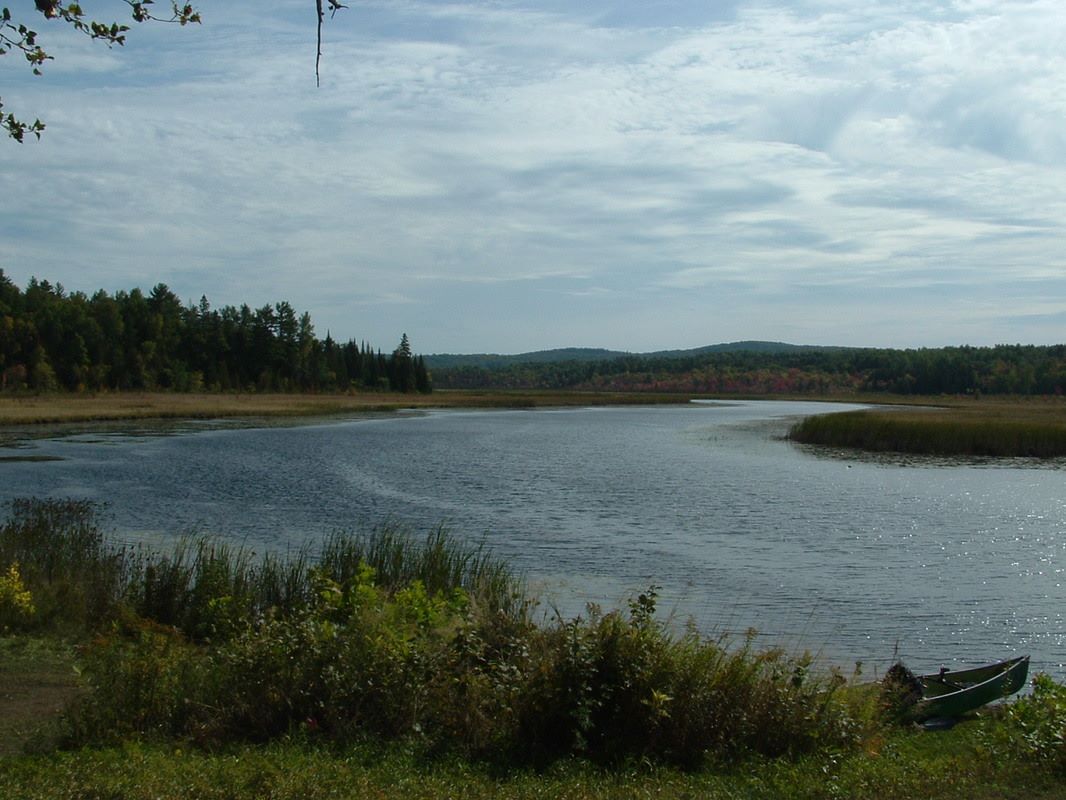
Conroy's Marsh A Paddling Paradise
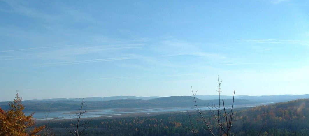
Photo Of Conroy's Marsh Taken From Craigmount Mine
|
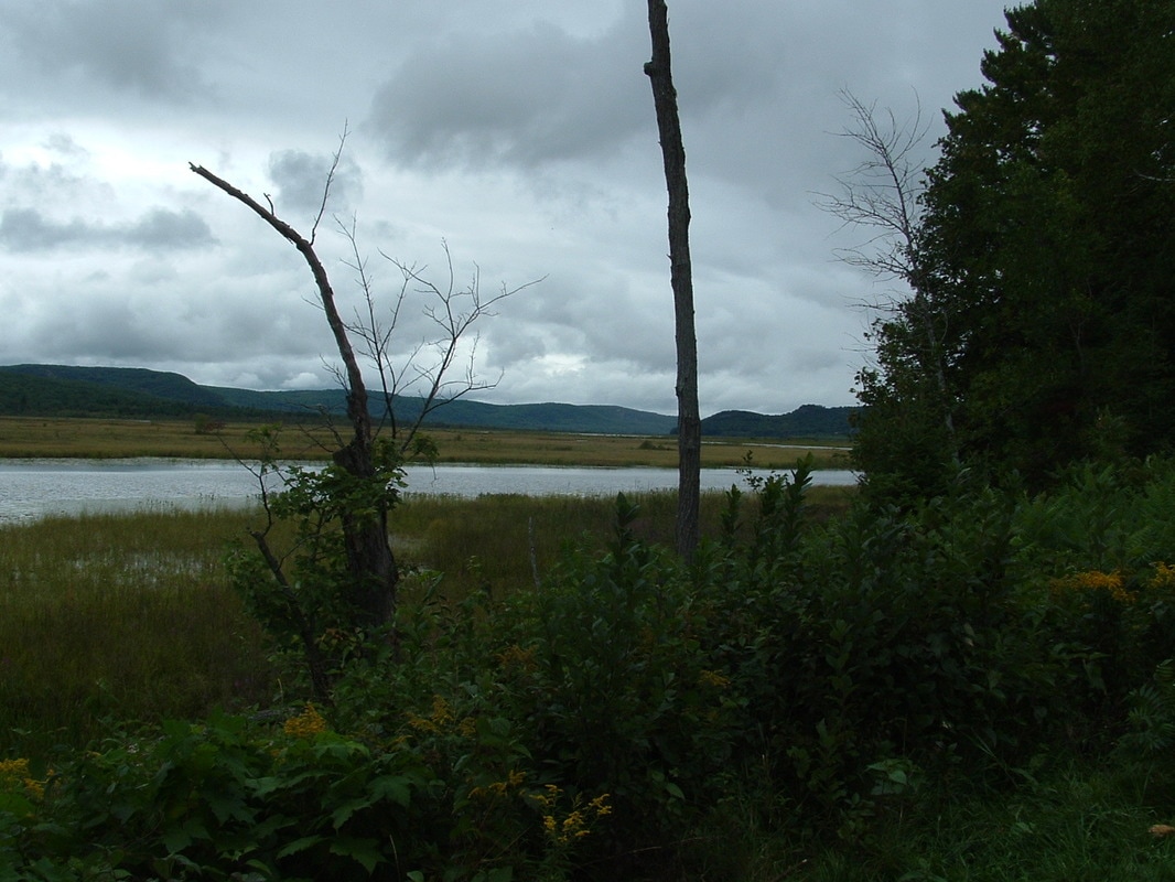
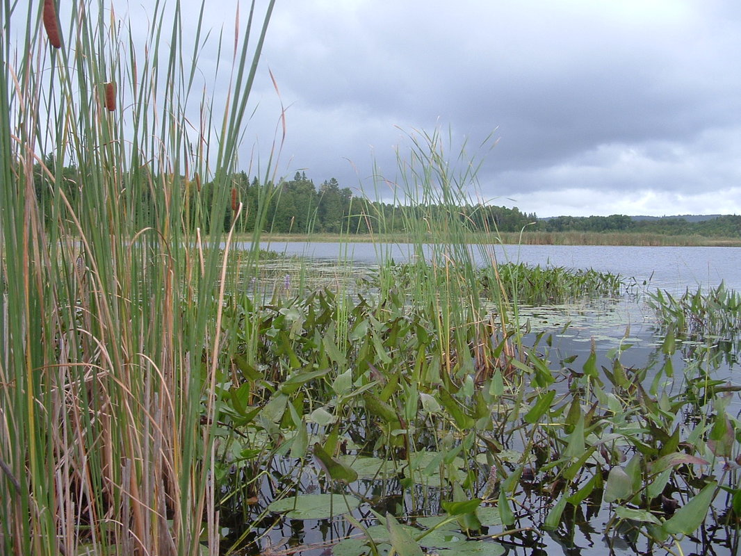
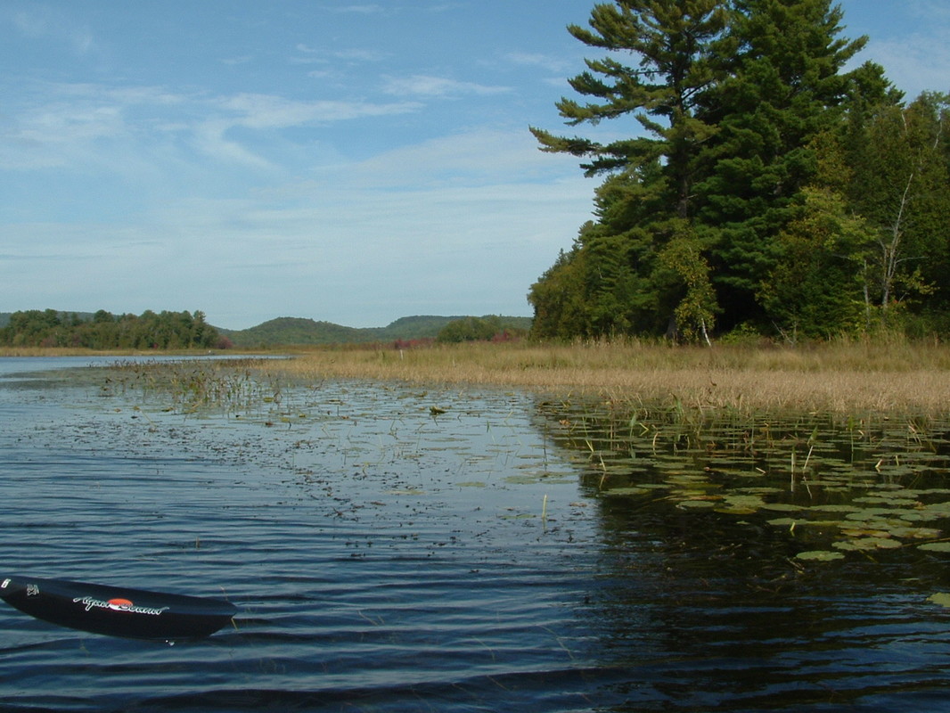
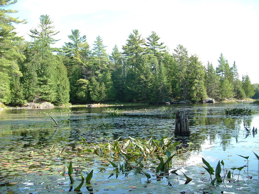
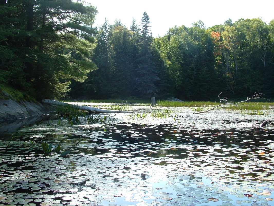
To access the Conroys Marsh you will need a boat, canoe or kayak. The marsh is over 2,000 hectares in size and is situated in a valley formed by rocky hills to the east and west of the shorelines of the Little Mississippi and York Rivers before they merge and empty into the Madawaska River at Negeek Lake.
"The York and Little Mississippi Rivers meander through a broad valley, created by the surrounding rock ridges to the east and west. The meandering rivers are bounded by various open water marsh communities, floating sedge fen mats, with variable transition from shrub swamps to coniferous and mixed swamps, then mixed and deciduous forests. The complexity of the wetland vegetation types (marsh, fen, swamp) and the intricate mosaic nature of the communities result in good representation of wetland communities. The setting is further enhanced by various sheltered bays extending into valleys of the surrounding forested ridges, and long, narrow silver maple forested levees of alluvium along the York River. |
| conroys_marsh_pdf.pdf |

| conroys_marsh_map_1_pdf_logo.pdf |
| conroys_marsh_map_2_pdf_logo.pdf |
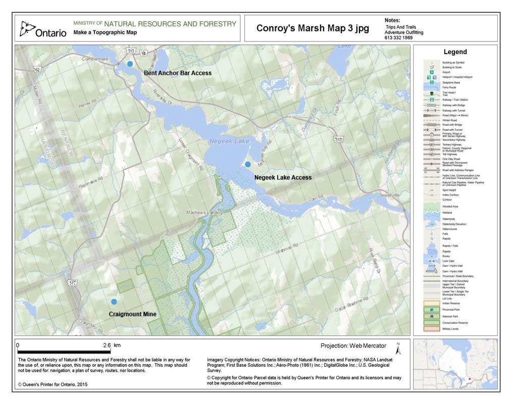
| conroys_marsh_map_3_pdf_logo.pdf |
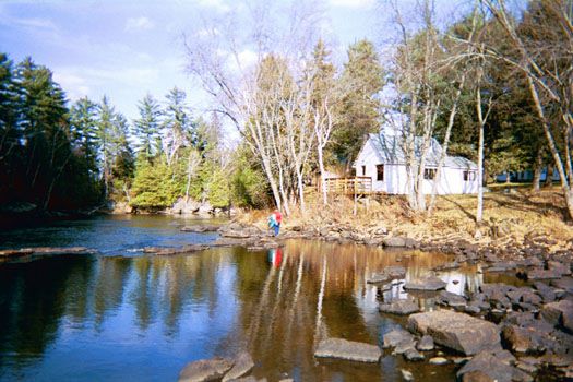
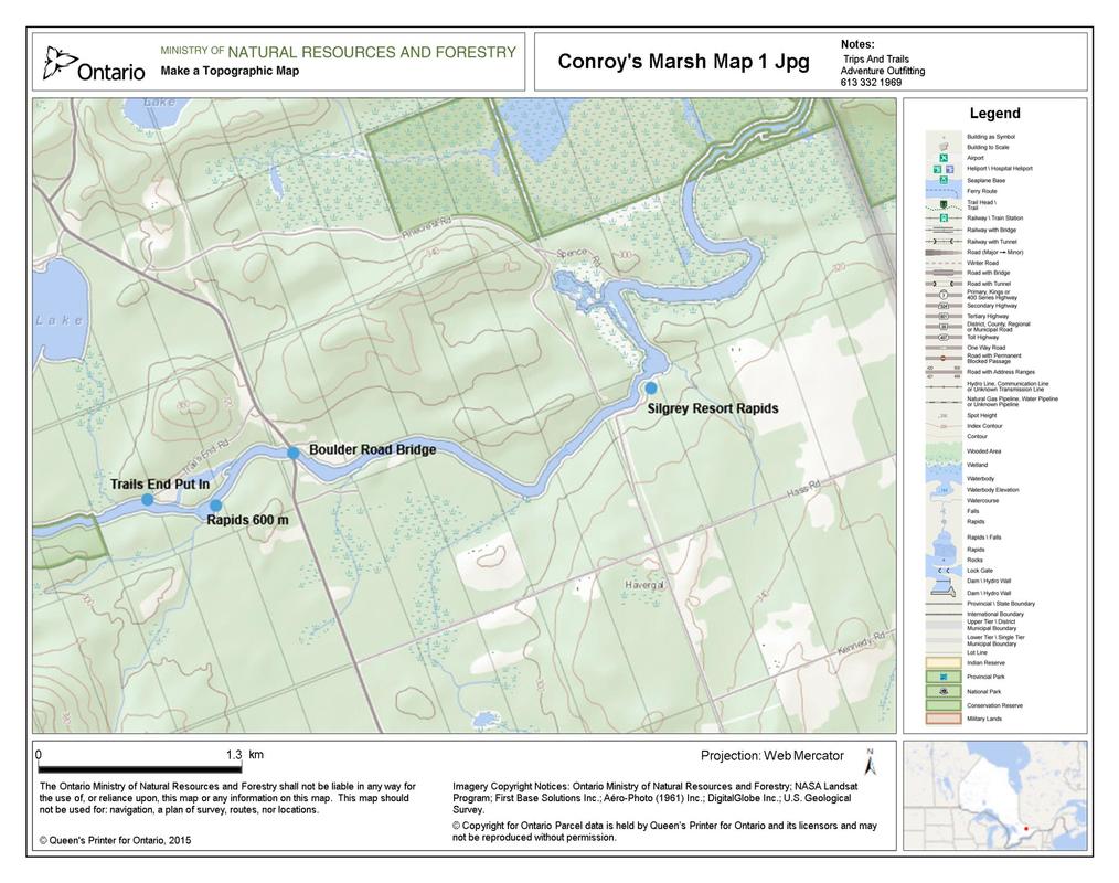
Silgrey Resort
Silgrey Rustic Resort, 40 km NE of Bancroft is located on the York River at the Conroy Rapids, a registered Walley spawning site. The spawn takes place between mid April and mid May - a perfect time to visit Silgrey.
Silgrey is ideal for those that want a more down to earth vacation experience. Outdoor washroom facilities and a shower house add to the rustic experience. Campsies are also available. Silgrey has direct access to Conroy's Marsh a great place to paddle, photograph, bird watch, fish and explore. |
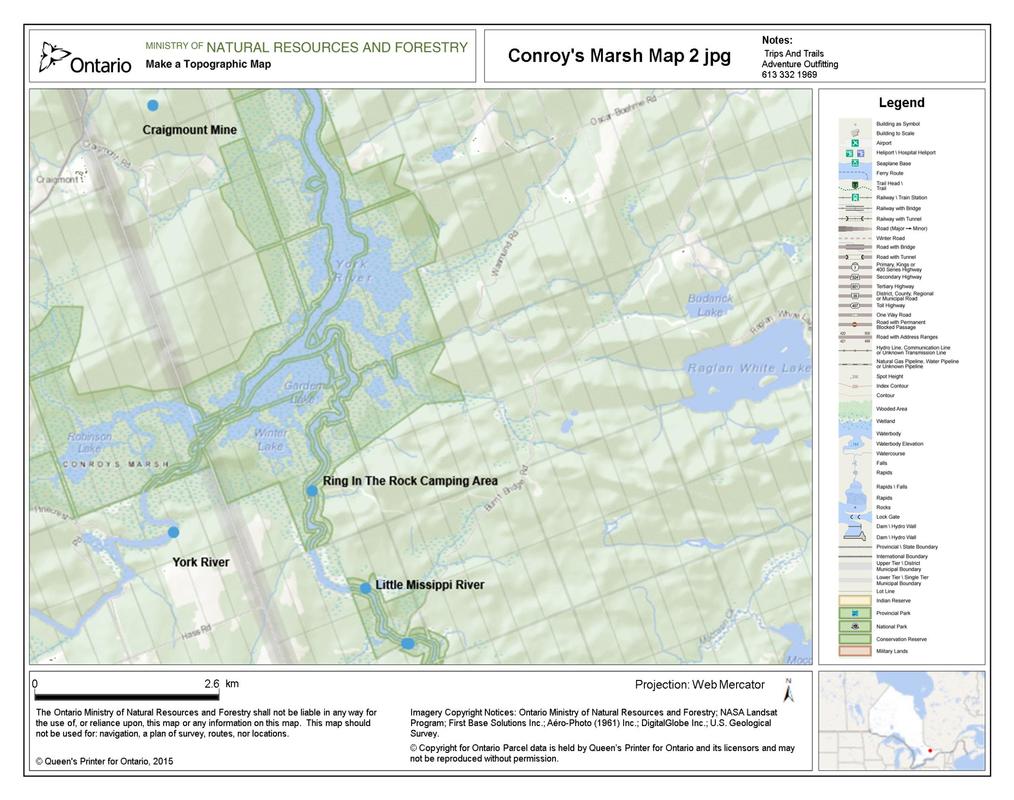
Ring In The Rock
Ring In The Rock is located at the Mouth of The Little Missippi River on Conroys Marsh. There is a huge clearing that could accommodate large or small groups of tents. The access is off Burnt Bridge Road (see topo). Be aware there is poison ivy at this location. A great place to camp with a cool breeze usually blowing and relatively bug free in the open spaces. This space is on crown land so First come first serve applies.
|
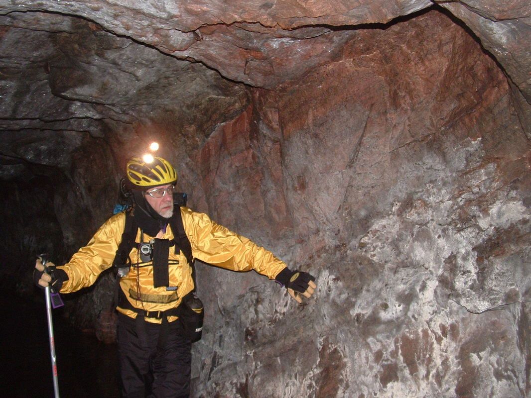
Craigmount Mine
In 1876, the mountain was discovered as a source for Corundum. In 1900, mining operations began by the Canada Corundum Company. A settlement, consisting of both a company town and a private town, grew to a peak population of 600 persons, making it the world's largest Corundum producer at that time. But in 1913, a fire destroyed the mill, resulting in job loss and a gradual decline. By 1921, Craigmont was a ghost town.
|
